Maps
The hand-drawn map still tells a traveler what a pin never can.
The digital pin offers location, but the hand-drawn map provides orientation. In an era of clinical precision, the imperfect line of a cartographer remains a vital record of how we actually move through a landscape.
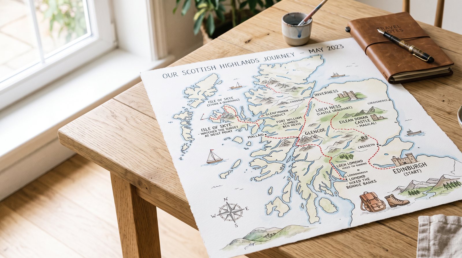
A digital pin is a point of absolute certainty, a coordinate fixed in a vacuum of mathematical precision. It tells you exactly where you are, but it rarely explains where you have been or what the space between here and there actually feels like. In contrast, the hand-drawn map begins with a human gesture—a line that represents not just a boundary, but an observation. When a traveler traces the irregular contour of a headland or the specific bend of a creek by hand, they are engaging in a form of narrative. The map becomes a record of attention, where the thickness of a stroke might indicate the steepness of a climb and the omission of a detail might signal a moment of distraction or the irrelevance of a landmark to the journey at hand.
The history of cartography has always been an exercise in selective emphasis. Before the advent of satellite imagery and global positioning systems, maps were built from the ground up, one footstep at a time. A cartographer’s work was as much about what was left off the page as what was included. This process of curation is what gives a hand-drawn map its soul. It reflects the priorities of the culture that produced it—focusing on water sources, defensive heights, or sacred groves. Today, the digital interface treats all data points with equal weight, flattening the world into a uniform grid of information. But a hand-drawn line carries the weight of the hand that drew it, offering a hierarchy of importance that helps a traveler understand the character of the land rather than just its dimensions.
Waymarking, as a practice, is fundamentally sensory. It relies on the recognition of landmarks that have a physical presence: the specific slant of a sandstone ridge, the smell of a damp pine grove, or the way the light hits a particular clearing at midday. A digital pin can alert you to a destination, but it cannot prepare you for the experience of arriving. Hand-drawn maps often include these sensory cues, sometimes in the margins or through the stylistic choices of the artist. They provide a sense of "way" that is lost in the clinical efficiency of turn-by-turn navigation. To follow a hand-drawn route is to participate in a shared history of looking, where the traveler’s eyes are guided by the insights of those who came before them.
The "blue dot" of modern navigation has created a new kind of spatial illiteracy. By placing the user at the center of a shifting, auto-rotating world, it removes the need to understand the relationship between north and south, or the connection between one neighborhood and the next. We move through the city as if through a series of isolated tunnels, emerging at our destination without having truly traversed the space. The hand-drawn map, however, demands orientation. It requires the traveler to look up from the screen and reconcile the marks on the paper with the reality of the horizon. This act of reconciliation is where true navigation happens. It builds a mental model of the world that is durable, unlike the fleeting instructions of a voice prompt.
There is a cognitive generosity in the imperfect line. A hand-drawn map acknowledges that the world is not a static database, but a living, changing environment. It allows for the possibility of error, for the seasonal shift of a riverbank, or the growth of a forest. When we use a physical map, we are forced to engage with the scale of the world. We feel the distance in the space between our fingers. Digital pins, by contrast, offer a false sense of proximity. A destination that is three miles away looks the same as one that is thirty, until you zoom in. The physical map preserves the integrity of distance, reminding the traveler that every journey requires a commitment of time and effort.
The wistful nature of the hand-drawn map lies in its record of discovery. It is a document of the unknown as much as the known. Old maps often featured "terra incognita," spaces where the cartographer’s knowledge ended and their imagination began. While modern maps have eliminated these blank spaces, the spirit of the unknown remains a vital part of travel. A hand-drawn map captures the uncertainty of the traveler—the hesitation at a fork in the road, the detour taken to avoid a flooded path. It is a personal archive of a specific moment in time, a snapshot of how one person navigated the world before the data was settled and the route was optimized.
As we move further into an era of automated systems and predictive algorithms, the value of the human-centric map only increases. There is a growing movement among modern wayfinders to reintegrate the principles of hand-drawn cartography into digital tools. This is not a rejection of technology, but a refinement of it. It is an attempt to create interfaces that respect the traveler’s need for context and narrative. By allowing for more expressive, less rigid representations of space, these new systems aim to restore the sense of wonder that comes from truly knowing where you are. The goal is to move beyond the pin and return to the map, treating the journey as an end in itself.
Ultimately, the hand-drawn map remains a work of care. It is a gift from one traveler to another, a way of saying, "I have been here, and this is what I saw." It is a tool for orientation in a world that is increasingly disorienting. While the digital pin will always have its place for the sake of convenience, it can never replace the profound connection to the land that comes from a hand-drawn line. To hold a map is to hold a piece of the world, rendered with all the complexity, beauty, and fallibility of the human experience. It is a reminder that while we may have better data than our ancestors, we are still searching for the same thing: a way to feel at home in the landscape.