History
A forgotten set of maps is making an old coastline visible again.
Rediscovered in the quiet depths of an archival basement, a rare set of hand-drawn maps is revealing the lost contours of the Australian coastline. These delicate ink studies offer a profound connection to a landscape that existed before modern development.
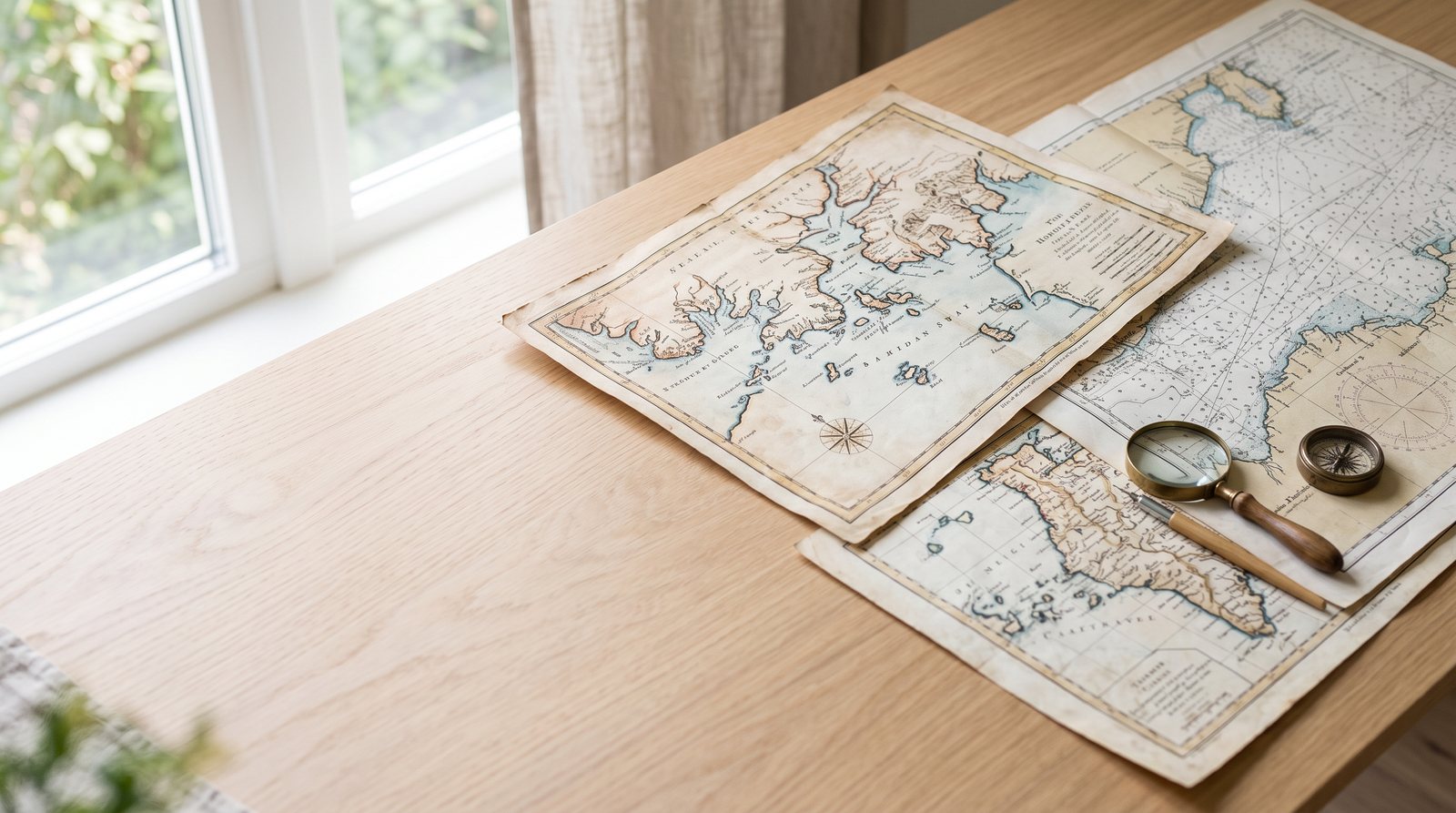
The discovery of a forgotten set of maps often begins not with a dramatic reveal, but with the patient work of a researcher like Benn Orr. In the quiet, temperature-controlled basements of an archival institution, these documents can wait for decades, hidden in plain sight within mislabeled folios or overlooked collections. The maps in question, recently brought to light by the "Past Tense" project, represent a precise and evocative record of a coastline that has largely vanished beneath the weight of two centuries of urban development. These are not the glossy, mass-produced charts of the modern era; they are hand-drawn, ink-on-vellum studies that capture the intricate relationship between the land and the sea. Each line, carefully etched by a cartographer’s pen, represents a moment of observation—a sounding taken from a small boat or a bearing measured from a sandstone headland.
To hold one of these maps is to encounter the physical reality of historical time. The vellum, though aged to a soft amber hue, remains remarkably durable, preserving the fine linework and the delicate washes of color that distinguish different depths and terrain types. The ink, likely a carbon-based mixture that has resisted the fading effects of time, traces the contours of bays and inlets with a rhythmic grace. There is a specific kind of care visible in these documents—a refusal to simplify the complexity of the natural world. The cartographers of the early nineteenth century were working in a pre-industrial landscape, where the shape of the coast was defined by tides, currents, and the slow accumulation of silt rather than the rigid geometry of concrete wharves and reclaimed parklands.
What these maps reveal is a coastline that is both familiar and profoundly strange. For those accustomed to the modern silhouette of the New South Wales coast, the maps offer a startling correction. They show estuaries that have long since been filled in to create suburbs, sandbars that have been dredged away to accommodate deeper shipping channels, and wetlands that once acted as the lungs of the coastal ecosystem. In the Sydney basin, for instance, the maps trace the original extent of the bays, revealing how much of the current city sits on land that was once tidal. The "old coastline" is not just a historical curiosity; it is a ghost that still haunts the modern topography. By following the lines of these forgotten maps, researchers can identify the ancient drainage patterns and the original vegetation lines that defined the region.
The process of creating these maps was an exercise in extreme patience and physical endurance. Cartographers like those featured in the "Past Tense" archives would spend weeks, sometimes months, in small open boats, taking soundings with lead lines and measuring angles with sextants. This was "slow history" in its most literal sense. Every data point on the map was earned through direct contact with the environment. The result is a document that carries a different kind of authority than a satellite image. While a modern map provides a comprehensive view from above, these historical charts provide a view from within the landscape. They record the subtle shifts in water color that indicate a change in depth, the specific clumps of mangroves that marked the edge of a swamp, and the distinctive profiles of hills.
| Feature | Historical Mapping (19th Century) | Modern Cartographic Data (21st Century) | | :--- | :--- | :--- | | **Medium** | Hand-drawn ink on vellum or heavy paper | Digital vector data and satellite imagery | | **Data Source** | Manual soundings and sextant observations | LiDAR, sonar, and GPS positioning | | **Precision** | Dependent on the skill and patience of the surveyor | Centimeter-level accuracy via satellite networks | | **Focus** | Navigational hazards and natural landmarks | Infrastructure, property boundaries, and land use | | **Temporal State** | A single, fixed moment of observation | Dynamic, real-time updates and time-series data |
In the contemporary era, the value of these maps is being amplified by digital technology. By scanning these archival documents at high resolution and georeferencing them against modern spatial data, researchers can create precise overlays that show exactly where the land has grown and where the sea has retreated. This intersection of the old and the new allows for a profound kind of temporal analysis. We can see, with centimeter-level accuracy, how the construction of a sea wall in the 1880s altered the flow of sand in a bay, or how the clearing of a forest for timber changed the sedimentation rate of a river mouth. These maps provide the baseline data that is essential for understanding the long-term environmental health of the coast. They are tools for understanding how we got to where we are.
Beyond the geological and navigational data, these maps also preserve a subtle record of human presence. While their primary purpose was often administrative or military, the cartographers could not help but include the marks of the people who lived along the shore. Small symbols might indicate a seasonal camp, a well-used path, or a clearing in the bush. In many cases, these maps inadvertently recorded the enduring presence of Aboriginal communities, tracing the landmarks and water sources that had been significant for thousands of years. By looking closely at the margins of these charts, one can find the traces of a much older geography—a map of meaning and connection that predates the colonial survey. This makes the rediscovery of these maps a significant event for anyone interested in the layered heritage of the coast.
The work of the "Past Tense" project serves as a reminder that the archive is not a static repository of the past, but a living resource for the future. The maps that Benn Orr and his colleagues are bringing to light are changing the way we think about land management and conservation. In an era of rising sea levels and increasing coastal erosion, understanding the "original" shape of the land is more than an academic exercise. It offers practical insights into how we might design more resilient coastal infrastructure or where we might focus our efforts for habitat restoration. By returning to these forgotten maps, we are giving ourselves the chance to see the landscape with fresh eyes, to appreciate the beauty of its original forms, and to recognize the profound impact of our decisions.
Ultimately, a forgotten set of maps is a gift of perspective. It allows us to step outside the immediate concerns of the present and to see the coastline as a work in progress—a landscape that has been shaped by both natural forces and human ambition. The "wistful ink" of these archival treasures does not just show us an old coastline; it shows us the continuity of the land and our place within it. As these maps become visible again, they invite us to slow down, to look closer, and to consider what kind of mark we are leaving on the maps of the future. The coastline will continue to change, as it always has, but with these historical guides in hand, we can navigate that change with a greater sense of history, care, and responsibility.